Los Angeles Traffic: Rush Hours, Worst Freeways & How to Beat Congestion
Los Angeles has some of the most congested roads in the United States. With over 10 million residents in LA County and limited rail alternatives for most trips, its freeways run near capacity for much of the day. But LA traffic follows patterns — and understanding those patterns is the most practical tool you have for saving time.
This guide covers when traffic is worst, which freeways to watch, and the specific windows where drive times in LA drop significantly.
Los Angeles Rush Hour Times
Unlike many cities, LA rarely has a true off-peak. Even midday freeways carry significant volume, and a single incident can cause widespread delay at any hour. That said, the gap between peak and off-peak is large enough to meaningfully change your commute — leaving 30 minutes earlier or later than the peak window frequently cuts drive time in half.
Sundays deserve a mention: mornings are generally light, but 3:00–6:00 PM sees a consistent build as residents return from weekend travel. The I-405 northbound from the South Bay on Sunday evening is a reliable slowdown.
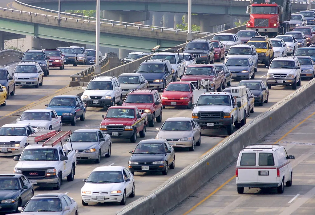
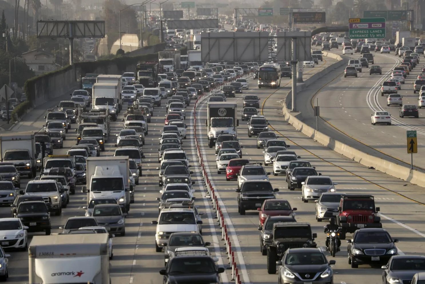
LA's Most Congested Freeways
Five corridors account for the majority of severe, recurring delay in Los Angeles County.
| Freeway | Severity | Worst Segment | Peak Direction |
|---|---|---|---|
| I-405 (San Diego Fwy) | Critical | Sepulveda Pass (I-10 to US-101) | NB evenings, SB mornings |
| US-101 (Hollywood/Ventura Fwy) | Critical | Hollywood to Cahuenga Pass | WB mornings, EB evenings |
| I-10 (Santa Monica Fwy) | Critical | Downtown to Santa Monica | WB evenings, EB mornings |
| I-5 (Golden State/Santa Ana Fwy) | High | Downtown stack interchange | Both directions, all day |
| I-110 (Harbor Fwy) | High | South LA to downtown | NB mornings, SB evenings |
| SR-60 (Pomona Fwy) | Moderate | East LA through Monterey Park | WB mornings, EB evenings |
The I-405 Sepulveda Pass is particularly notorious. When the 405 slows, drivers divert to Sepulveda Boulevard, which promptly gridlocks itself. The corridor has no easy bypass — this is one of the places where leaving at a different time is worth more than any navigation shortcut.
Traffic Hot Spots by Area
Westside — Santa Monica, Venice, Culver City
Access to the Westside is structurally limited. The I-10 and Lincoln/Sepulveda surface corridors carry disproportionate volume for an area with relatively few freeway connections. Expect severe delays heading into the Westside from 7:30–9:30 AM and heading out from 5:00–7:00 PM. The 10 westbound at peak is one of the slowest stretches of road in LA.
San Fernando Valley
Separated from central LA by the Santa Monica Mountains, the Valley funnels most of its traffic through two mountain passes: the I-405 over Sepulveda Pass and US-101 over Cahuenga Pass. Both saturate quickly. The Valley also generates significant internal congestion along the 101, 405, and 118 during peak hours, independent of the pass crossings.
Downtown Los Angeles
The convergence of the I-5, I-10, US-101, and I-110 near downtown creates one of the most complex interchange stacks in North America. The area rarely fully clears on weekdays. The I-10/I-110 interchange and the US-101/I-5 split are the most frequent bottlenecks. Afternoon delays often begin as early as 3:30 PM.
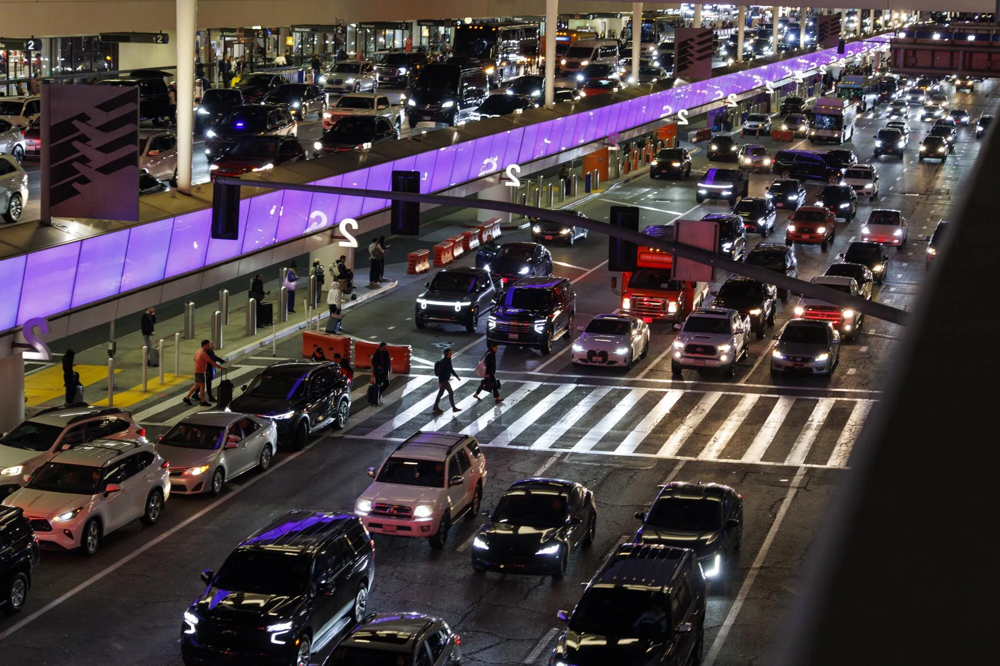
LAX / South Bay
Airport traffic compounds freeway congestion on the I-405 and I-105 corridors. LAX rideshare and taxi surges around 8–10 AM and 6–9 PM extend slowdowns well beyond the immediate airport area. The I-405 between LAX and the South Bay is among the most reliably slow segments in the county.
Best Times to Drive in Los Angeles
Forecast Traffic for Your LA Commute
Enter your origin and destination to get a 7-day heatmap of drive times across the week. See exactly which departure windows are fastest for your specific route — not just average LA traffic.
route Analyze My RouteLA Traffic Patterns by Season & Event
☀️ Summer (June–August)
School's out and commute volumes drop noticeably. Summer is typically the easiest period for driving in LA. The exception is weekend beach traffic heading to the coast, which can back up PCH and the I-10 on Saturday mornings.
📚 Fall (September–November)
Back to school plus full workplace occupancy makes this historically the worst stretch of the year. September is an abrupt shift — the same freeways that were manageable in August become reliably brutal.
🦃 Thanksgiving Week
The Wednesday before Thanksgiving is one of the single worst traffic days in LA. If you're traveling, the Tuesday prior or after 8 PM on Wednesday avoids most of it. The Sunday after Thanksgiving sees a similar surge on inbound routes.
🎄 December Holidays
Traffic drops sharply between December 25 and January 1 as both business and school traffic pause. This is one of the best weeks of the year for driving across the county.
⚾ Dodgers Home Games
Dodger Stadium sits adjacent to the US-101/I-110 interchange. Post-game traffic (typically 9:30–11 PM) affects downtown freeways and the 101 through Silver Lake. Plan a 45-minute buffer if you're driving that corridor after a home game.
🏟️ SoFi Stadium Events
Concerts and games at SoFi Stadium in Inglewood concentrate additional volume on the I-405 and I-105 near LAX — corridors that are already among the county's most congested.
LA Traffic Research & Data Sources
For deeper dives into Los Angeles traffic data, the following are the most reliable public sources and research institutions.
- Caltrans PeMS — Live and historical freeway flow data across LA County. pems.dot.ca.gov
- L.A. Metro Projects — Bus, rail, and highway projects impacting traffic. metro.net/projects
- LADOT — Reports, open datasets, and mobility initiatives. ladot.lacity.org
- SCAG — Regional transportation modeling and long-term mobility plans. scag.ca.gov
- LA GeoHub Traffic Data — Open geospatial datasets for traffic and streets. geohub.lacity.org
- UCLA Institute of Transportation Studies (ITS) — Research on congestion, active mobility, and urban traffic management. its.ucla.edu
- UCLA Lewis Center for Regional Policy Studies — Studies on LA commuting, public transit, and equity in mobility. lewis.ucla.edu
- UC Davis Institute of Transportation Studies — Statewide work on vehicle emissions, congestion, and travel behavior. its.ucdavis.edu
- UC Berkeley SafeTREC (TIMS) — Collision data and safety analysis for California roads. safetrec.berkeley.edu
- Google's LA Traffic Live Map — Current congestion overview. View map
- TomTom Traffic Index – Los Angeles — Historical congestion level trends. tomtom.com/traffic-index
- Caltrans QuickMap — Real-time incident map for California freeways. quickmap.dot.ca.gov
- OpenStreetMap — Base layer for custom LA visualizations. openstreetmap.org
- CHP SWITRS — Raw crash and incident records statewide, including LA County. iswitrs.chp.ca.gov
- California Office of Traffic Safety — Yearly rankings for collisions, injuries, DUIs. ots.ca.gov
- NHTSA — National crash and vehicle safety data. nhtsa.gov
- CARB — Research on congestion and emissions reduction strategies. arb.ca.gov
- California Transportation Commission (CTC) — Funding priorities and project pipeline. catc.ca.gov
- Urban Displacement Project — How transportation projects reshape housing and commutes. urbandisplacement.org
More City Traffic Guides
Compare traffic patterns across other major US cities.